When the monsoons bring record
rains over the catchments the northern rivers start to flow towards
Lake Eyre. In those years the waters reach the Lake and may even
overflow into Lake Eyre South. The flooding triggers a huge influx
of birds to breed on the dunes and islands. Also the tourists come
by air and land to enjoy the rare sight. Fortunately there are strict
regulations concerning the flights to ensure the rookeries are not
disturbed.
Lake Eyre has long been the
great unknown of the interior. Many early explorers were repulsed
by its dry, barren wastes, its silence and desolation. John Gregory
in 1901 called it The Dead Heart of Australia. But the explorations
of John and Roma Dulhunty in the 1970's and 80's have given us a
detailed picture of the lake. They risked their lives to carry out
trips over the salt crust, avoiding the dreaded slush zone where
the salt is thin over deep mud. They knew it in all its extremes,
from sand and dust storms to the great floods of 1974, its dangers
and its beauty. They were able to negotiate the surface of the Lake
with three-wheeled balloon-tyred Honda buggies and they had radio
communication with Muloorina Station. (There is a segment in the
National Museum featuring the expeditions of the Dulhuntys).
I was able to join a group
for a chance to travel to the Lake. We set off from Longreach, where
I arrived not knowing it was the last flight of the airline, Flightwest,
before it went into receivership at midnight. Our route took us
south through Jundah, Windorah, Betoota and Birdsville. Here the
Wet stopped us as the Birdsville Track was closed. However there
was plenty to do in town with the huge museum, Blue Poles Gallery
and coffee shop, the pub, Information Centre, Flying Doctor Centre
and the permanent lagoon with its bird life.
It was a day and a half before
we were allowed to proceed down the Track ($10,000 fine if orders
were ignored.) Floodouts were frequent and the plentiful water attracted
birds to the roadside and resulted in many stops along the way.
An overnight camp at Mungerannie Hotel, the only commercial stop
on the Track, gave us the chance of more good bird watching at the
large waterhole, and hot showers. On to Marree at the bottom of
the Track where we replenished our water supplies and bought and
mailed postcards. It's a sad little town now that the railway "the
Ghan" has been rerouted to the west.
Then we headed out to our
next camp on Muloorina Station on the Frome River. This station
was originally taken up in 1881, then purchased by Elliot Price
and his brother in 1938 and now covers 4,400 sq. kms (compare with
the ACT of 2,400 sq. kms). After World War I it was a government
camel breeding depot and afterwards had many owners, usually driven
off the land by drought. Elliot Price refused to beaten and his
family still live there. We drove across gibber plains, through
the dog fence, noticing scattered mobs of cattle from time to time,
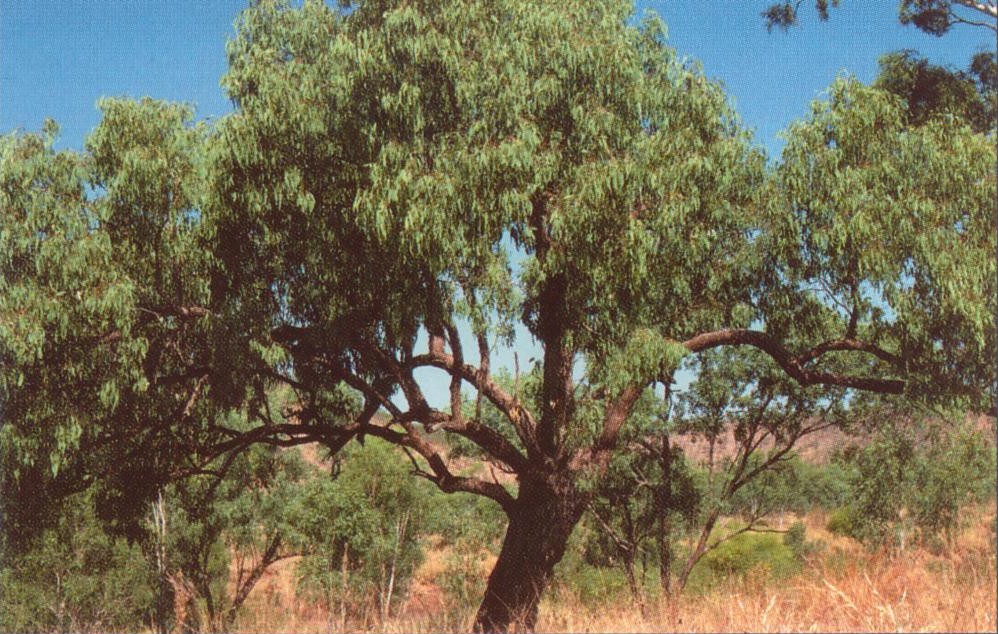
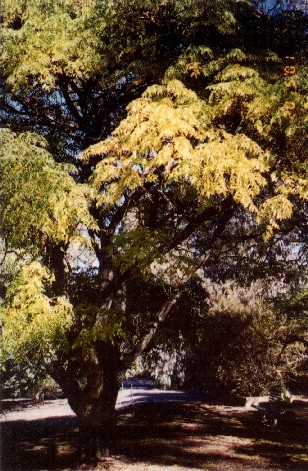
until we reached the oasis of the homestead and beyond the camp
area among the coolabahs and acacias close to the river. We had
a two-night stay there and the next day we were to drive 40 km to
the Lake itself. Lake Eyre covers 8,030 sq.km, Lake Eyre South 1,300
sq. km. At its lowest point the lake is 15 m below sea level.
It was a long hazardous trip
with detours around wet patches and over dunes, vegetation of cane
grass and saltbush and other low shrubs. Our track followed the
Goyder Channel which links north and south lakes until we reached
Lake Eyre National Park where an information board maps the area.
We were able to walk out onto the Lake for about 100 m until the
surface began to stick to our boots as they broke through the thin
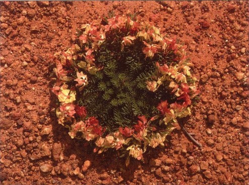
crust of salt. There were some beautiful features in salt-encrusted
shrub skeletons on the Lake and signs of rabbits everywhere around
the shoreline. We were standing on the shore of Madigan Gulf and
could see Elliot Price Peninsular in the distance.
Next day we were on our way
again back to Marree and on to the Oodnadatta Track following the
old Ghan line. The line is now only an embankment depleted for firewood
and by termites and most of the buildings of the sidings have been
vandalised. Coward Springs siding has been bought privately and
is being carefully restored. Camping is available and there is an
interesting small museum.
We were heading to William
Creek where some of the party hoped to catch an air tour. Light
planes are based there for several months for scenic flights over
the Lake. This was the highlight for us. As we flew out we could
see the fresh water of the Warburton River flowing into the Lake,
over Hughes and Dulhunty Islands with thousands of breeding pelicans,
Hunt Peninsula and Madigan Gulf. Flying lower, we were fascinated
by the patterns of the salt crust like ice floes, and in the water
there were green, bronze and coppery colours merging along the shore.
As we crossed back over the land, lines of dunes stretched away
to the west, with ironstone in swales. Mining companies had shown
interest at one time but there were no commercial prospects. All
too soon we were down on the ground and away for our night's camp.
Next day we travelled across
the Moon Plain where Priscilla, Queen of the Desert was filmed,
to Coober Pedy - another unreal place.
Such a wonderful country.